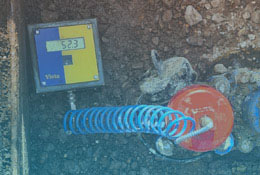
The hydraulics of a water network are determined through careful measurement of the total head at critical logged points within the network. The compound accuracy of the loggers and levelled elevation (to derive total head) needs to be minimal in order to achieve a model calibration tolerance within +/-1m of measured values. Using survey equipment with the highest available accuracy is crucial to confidently identify hydraulic anomalies, thereby highlighting operational efficiencies that water companies can leverage to achieve cost savings.
Versatile Field Testing Resources
Experts in Electronic Data Capture
Premium High-Accuracy GPS Units
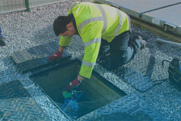
Health & Safety Focused Operatives
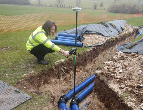
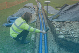
HydroCo utilises a blend of Lyca Smart Rover GPS equipment and conventional tripod and staff levelling tools for precise elevation surveys. Our capability extends to providing elevation surveys with an accuracy of up to 20mm, employing both modern and traditional methodologies to navigate obstacles and reach deep into buildings.
In addition to levelling for field tests, we can map your new assets for use in as-laid drawings and digitisation in your Geographical Information System (GIS), ensuring your corporate data is maintained to the highest standard.